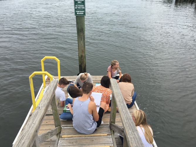

By Lisa Graichen, Climate Adaptation Program Coordinator for UNH Cooperative Extension and NH Sea Grant
Looking for some coastal inspiration? We’ve got some for you! As a coastal professional and resident, I think it’s so exciting and motivating to learn about the diversity of projects coastal communities and states are working on, whether it be research and vulnerability assessments, planning and zoning improvements, engineering designs for resilient infrastructure, or actual on-the-ground restoration and conservation. Now more than ever, we should be highlighting all the great ways state coastal programs help coastal communities thrive.
First, a little context: All 35 coastal and Great Lakes states and territories (except Alaska) participate in the National Coastal Zone Management Program, a voluntary partnership between the National Oceanic and Atmospheric Administration and coastal states, focused on implementing the Coastal Zone Management Act (CZMA) and supporting responsible coastal resource management. Many of these programs award projects to coastal municipalities to support climate adaptation and resilient communities. :
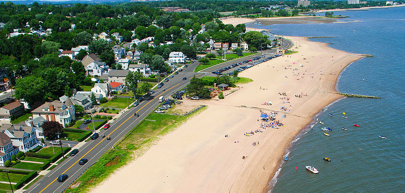
Massachusetts Coastal Management Program is funding 19 Coastal Resilience projects in local cities and towns, for a total of $1,824,732. Here are a few examples:
- The City of Boston will build on a vulnerability assessment to design nature-based strategies to support coastal resiliency (e.g., living shorelines, green infrastructure) for two priority sites.
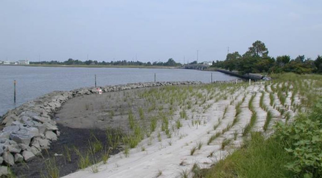
- The Town of Dennis will evaluate and design a pilot project to determine whether the beneficial reuse of dredged material is an effective way to address marsh loss and restore storm protection benefits.
- The Town of Marshfield will evaluate modifications to a culvert and tide gate structure under existing and future sea level rise conditions.
- The City of Salem will design and permit a living shoreline project at Collins Cove, using coir rolls (cylinder-shaped mesh rolls filled with coconut husk fibers) and natural vegetation to provide more natural protection from erosion.
- Full project list is available here: http://www.mass.gov/eea/docs/czm/stormsmart/grants/2017-coastal-resilience-grants.pdf

Maine Coastal Management Program is funding five Coastal Community Grant projects, for a total of nearly $186,280.
- The Washington County Council of Governments will restore commercial river herring fisheries to the greater Cobscook Bay ecosystem.
- The Town of Vinalhaven will conduct a vulnerability study for its downtown, which is home to 40 businesses, dozens of fishing wharves, and a ferry landing. This project will improve understanding of the flood risk to this area and identify potential adaptation options.
- The Lincoln County Regional Planning Commission will analyze flood risks for commercial and governmental structures in downtown Boothbay Harbor and provide recommendations to improve flood resiliency and raise community awareness of the flood insurance program.
- The City of Bath will assess downtown stormwater runoff patterns and management options to mitigate the risk of flash-flooding and the volume of pollutants discharged into the Kennebec River. The project will also develop conceptual designs for improving infrastructure.
- The City of Gardiner will study its downtown storm drainage system, evaluate options to mitigate the impacts of periodic flooding, and make recommendations.

New Hampshire Coastal Program is funding four Design Solutions for Coastal Resilience projects, for a total of over $271,000.
- The University of New Hampshire Cooperative Extension and NH Sea Grant will continue dune restoration work in Hampton and Seabrook, promote a dune grass community garden, and design new strategies to reduce dune impacts.
- The Town of North Hampton will evaluate drainage issues at the flood-prone Philbrick’s Pond salt marsh adjacent to Route 1A.
- The Town of Durham will analyze erosion issues at Wagon Hill Farm and design a nature-based erosion control solution.
- The Rockingham Planning Commission will work with the City of Portsmouth and the towns of Rye, Hampton, and Seabrook to implement high-water mark installations to raise awareness about historical and projected future flood levels.
- Learn more here: https://www.des.nh.gov/media/pr/2017/20170322-coastal-grant-awards.htm

Michigan Coastal Zone Management Program is providing $332,500 for seven coastal projects.
- The Harrison Township will develop a Waterfront Zoning Overlay District, a Developer’s Guide Brochure, and a Complete Streets Design for the district. These products will help inform smart growth and development for the coastal area.
- The Michigan Environmental Council will map the extent of Michigan’s coastal sand dunes and conduct outreach to better understand public values of the dunes and build a constituency of dune supporters.
- The County of Van Buren will restore and stabilize 20 acres of dunes, improve a public trail system, and develop signage and a video about dunes.
- The City of St. Joseph will conduct a five-year review and update of their 2012 coastal study to validate the engineering model and evaluate whether current regulations still provide sufficient protection, given rising water levels and potential increases in erosion.
- Emmet County will construct an accessible pathway and boardwalk in Headlands Park to provide access to the Lake Michigan shoreline to all users.
- Charlevoix County will develop a comprehensive master plan for a water trail system around Beaver Island, the largest island in Lake Michigan. The project will include a stakeholder summit, data collection and mapping, an asset inventory, an accessibility assessment, and development of promotional materials.
- The City of Port Huron will improve public access to a constructed wetland through a boardwalk, wetland overlook, interpretive signage, and plaza.
- In addition, the Michigan Coastal Zone Management Program is funding the second phase of a Coastal Resiliency Initiative project (a $125,000 grant) to work with the Michigan Association of Planning to incorporate coastal resiliency into communities’ plans and ordinances.

Texas Coastal Management Program is funding 17 projects, for a total of over $2.6 million. Here are a few examples:
- Texas A&M University-Corpus Christis (TAMU-CC) aims to develop a comprehensive database for monitoring living shoreline projects and mitigation sites.
- The Galveston Bay Foundation will construct a mile-long hike and bike trail, install an irrigation system, and plant native trees and grasses at Exploration Green in Harris County. This project will improve public accessibility and use natural wetland habitats to filter stormwater runoff.
- The Texas Parks and Wildlife Department will create artificial reef habitat at the Rio Grande Valley Reef Site in the Gulf of Mexico, improving fisheries habitat and supporting fishing and diving.
- TAMU-CC will generate information related to groundwater discharge rates to improve environmental flow recommendations and nutrient criteria in south Texas estuaries.
- Learn more about these and other projects here: http://www.glo.texas.gov/coastal-grants/#search/groupcsv=Coastal%20Management%20Program%20%28CMP%29|cycleYearcsv=2017

Ohio Coastal Management Program is providing over $500,000 to support 12 projects, including the following examples:
- The West Creek Conservancy will develop an app for mobile devices to promote watershed stewardship and public engagement in the Lake Erie Basin.
- The Ohio Department of Natural Resources will work with the City of Sandusky to develop a Strategic Restoration Initiative for Sandusky Bay.
- The Cuyahoga Soil and Water Conservation District will identify and prioritize stormwater options in four subwatersheds of the Rocky River. The project will produce conceptual designs for the top priority projects.
- The City of Rocky River will develop a master plan for redeveloping Bradstreet’s Landing to improve lake access and water quality.
This is just a taste of projects being funded this year. Many thanks to the state Coastal Programs and to NOAA for supporting this impressive and important work!
Sources:
- Individual State Websites (linked to above)
- Personal communications with author and state programs