
By: Erin J. Bryant, Assistant Professor of Ocean and Coastal Policy, Sea Education Association, and Kimberly Hernandez, Coastal Fellow with Maryland Department of Natural Resources*, (TCS Communications Subcommittee Members)
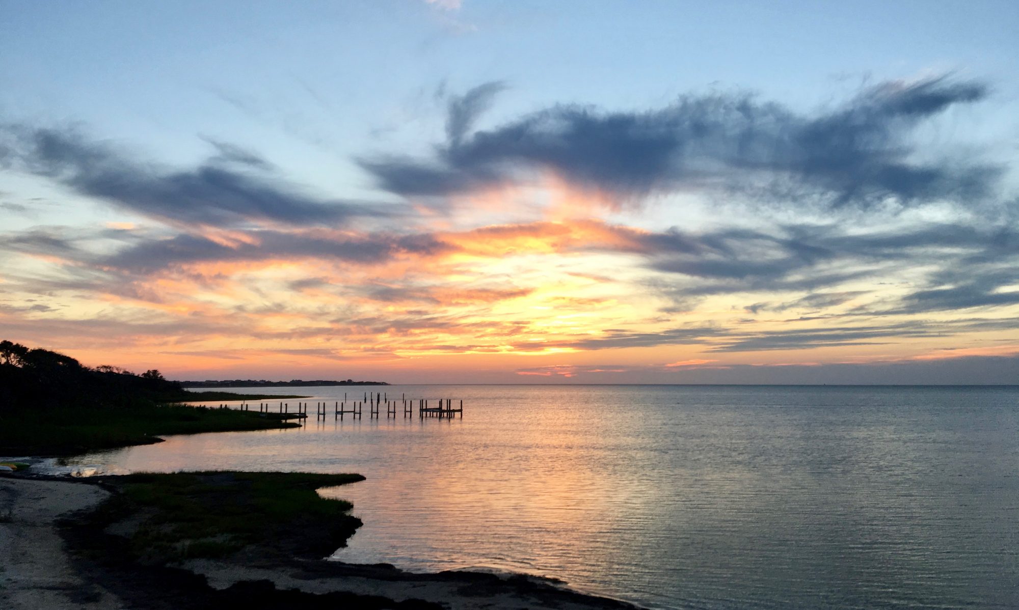
Coastal management took some big leaps forward in 2015 in many regions and sectors. Here are a few inspiring highlights, from Washington state to the Caribbean, and from climate change resilience and marine protected areas to green infrastructure technology and citizen science.
What else happened? Send TCS a message so we can pass along your coastal management news. What Was Green in 2015 … in the World of Coastal Management? Or at least noteworthy?
*TCS Leadership and Committee Chairs contributed to this article
#1 Sea Grant Tools Help Communities Become More Resilient

In January 2015 Sea Grant launched the National Sea Grant Resilience Toolkit. The toolkit is a compilation of tools and resources that have been developed over the years by the Sea Grant Network to help local communities become more resilient.
#2 Living shorelines practitioners gathered because marshes and wetlands beat seawalls in protecting human and wild resources

Restore America’s Estuaries and the Connecticut Institute for Resilience and Climate Adaptation held the first gathering of the living shorelines community after NOAA’s Living Shorelines guide outlined how to promote living shorelines as a shoreline stabilization technique to preserve and improve sheltered coastline habitats and the benefits they provide. New research finds that wetlands, marshes, and other natural barriers are more effective than concrete at protecting coasts.
For more, see: http://myemail.constantcontact.com/CSO—Newsletter-.html?soid=1117698342948&aid=wF4X0WQ8kSg
#3 NOAA, federal partners design ‘early warning system’ for freshwater toxic algal blooms

The National Oceanic and Atmospheric Administration will study satellite data information on Harmful Algal Blooms to protect freshwater from contamination and help protect the American public.
#4 Coastal wetland restoration can now earn carbon credits globally

The Verified Carbon Standard (VCS) will now allow salt marsh, seagrass, mangrove, and other tidal wetland restoration projects to count for carbon credits.
For more, see: https://www.estuaries.org/restoration-methodology-approval
#5 Rhode Island’s Block Island offshore wind farm set to be first in nation

The first offshore wind farm in the United States, the 30 megawatt, 5 turbine Block Island Wind Farm in Rhode Island is scheduled to be online in 2016. Soon, the Block Island Wind Farm will not only supply most of Block Island’s power, but also reduce air pollution across southern New England for years to come.
For more, see: http://dwwind.com/press/block-island-wind-farm-caps-off-successful-first-offshore-construction-season/
#6 Tetra Tech designed the western hemisphere’s largest, most energy-efficient desalination plant for San Diego, CA

Tetra Tech designed the desalination plant and pipeline, and coordinated the project with agencies, to supply fresh water to San Diego County.
For more, see: http://www.tetratech.com/en/projects/carlsbad-seawater-desalination-conveyance-pipeline
#7 The Great Lakes Restoration Initiative Report to Congress and the President summarized the GLRI’s first five years of study, restoration and management

Toxic substances, invasive species, non-point sources of pollution, research, evaluation, outreach, and partnerships are GLRI’s focal areas.
For more, see: http://greatlakesrestoration.us/pdfs/21050720-report_to_congress.pdf
#8 EPA’s Green Infrastructure Wizard, or GIWiz, provides access to tools and resources that can support and promote water management and community planning decisions

GIWiz is an interactive web application that connects communities to EPA Green Infrastructure tools & resources. Users can produce customized reports.
For more, see: http://www.epa.gov/communityhealth/green-infrastructure-wizard or http://www.epa.gov/sites/production/files/2016-01/documents/giwiz_fact_sheet_final_508_compliant.pdf
#9 RESTORE the Gulf Act funded research priorities announced for Gulf of Mexico

The plan includes these research priorities, especially as they relate to fisheries:
- Models, decision-support tools, and monitoring technology for natural resource managers;
- Understanding how the waters of the Gulf of Mexico, its natural resources, and its coastal communities are connected;
- Capacity to predict the impact of climate change and severe weather on the Gulf of Mexico and its natural resources; and
- Indicators for measuring the long-term status and health of the Gulf of Mexico ecosystem.
#10 Georgia Sea Grant Uses New Smartphone App to Map King Tide Flood

The Sea Level Rise app, created by Norfolk, Virginia-based Wetlands Watch and developer Concursive, is being pilot tested to capture tidal flooding events up and down the East Coast, including by Sea Grant programs in South Carolina, North Carolina, Georgia and Florida.
#11 Smart Coastal Management in Washington: Coastal Hazards Resilience Network and Marine Spatial Planning Move Forward

Photo Credit: Washington Coastal Hazards Resiliency Network
The Washington Coastal Program’s new regional partnership boosted coastal community resilience by helping local planners find tools for disaster response and recovery. Washington moved toward a comprehensive marine spatial plan by mapping seabirds, mammals, and seafloor features.
For more, see: http://www.coastalstates.org/wp-content/uploads/2016/01/Washington_Coastal-Hazards-Resiliency-Network.pdf
#12 California Sea Grant and the California Coastal Commission produced Sea Level Rise Policy Guidance

http://www.coastal.ca.gov/climate/slrguidance.html
California’s Sea Level Rise Policy Guidance document briefs the best available science on sea level rise for California and tells the Coastal Commission how to plan and regulate for sea-level rise. The guidance document makes general recommendations intended to be adapted to the needs of specific geographical areas. Sea Grant and CCC will periodically revise the guidance document to address new sea level rise science, information and approaches to sea level rise adaptation, and new legal precedent.
For more, see: http://www.coastal.ca.gov/climate/slrguidance.html
#13 Planners prioritized resiliency in 2015’s Florida Transportation Plan as leaders saw projections of 6-10 inches of sea-level rise by 2030

Photo Credit: Florida Department of Transportation
Climate resilience features prominently in the December 2015 update of the Policy Element of the Florida Transportation Plan, which defines goals and objectives for the next 25 years and establishes the policy framework for expenditure of state and federal funds. Included in the plan’s seven policy goals is “Agile, Resilient, and Quality Infrastructure,” with the objective to “increase the resiliency of infrastructure to risks, including extreme weather and other environmental conditions.” Southeast Florida Climate Compact’s projection guideline now includes a long term planning horizon to the year 2100 and local sea level rise rates due to local processes.
For more, see: http://www.floridatransportationplan.org/pdf/FDOT_FTP-SIS_PolicyElement.pdf and http://www.southeastfloridaclimatecompact.org/wp-content/uploads/2015/10/2015-Compact-Unified-Sea-Level-Rise-Projection.pdf
#14 Climate Central announces America’s Preparedness Report Card

Photo Credit: States at Risk: America’s Preparedness Report Card
http://statesatrisk.org/report-card/massachusetts
The States at Risk report found that Florida and Louisiana face enormous coastal flooding threats, far greater than any of the other 22 coastal states. Florida alone has 4.6 million people projected at risk (living in the 100-year coastal floodplain) by 2050. Louisiana has 1.2 million. Overall, states are more prepared for coastal flooding than for any other threat. Florida, however, is not among them. Florida earned an F for coastal flood preparedness, due to its average level of readiness in the face of enormous current and future risks. Louisiana, which is far better prepared, earned a B-.
For more, see: http://www.climatecentral.org/news/states-at-risk-preparedness-report-card-19690
#15 Identifying Virgin Islands Areas Most Vulnerable to Climate Change

The Nature Conservancy with help from multiple agencies and organizations like the Caribbean Landscape Conservation Cooperative (CLCC) – one of a network of private-public sector LCC groups created by the U.S. Department of the Interior – identified areas in the Virgin Islands that researchers agreed are most likely to feel the greatest negative impact of global warming and possible ways to mitigate the situation.
For more, see: https://lccnetwork.org/news/caribbean-lcc-news-identifying-virgin-islands-estates-most-vulnerable-climate-change